A more active, more typical weather pattern returns
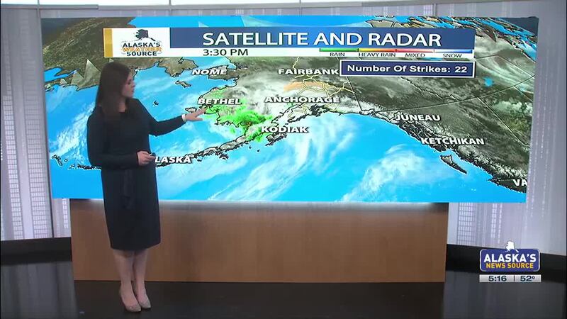
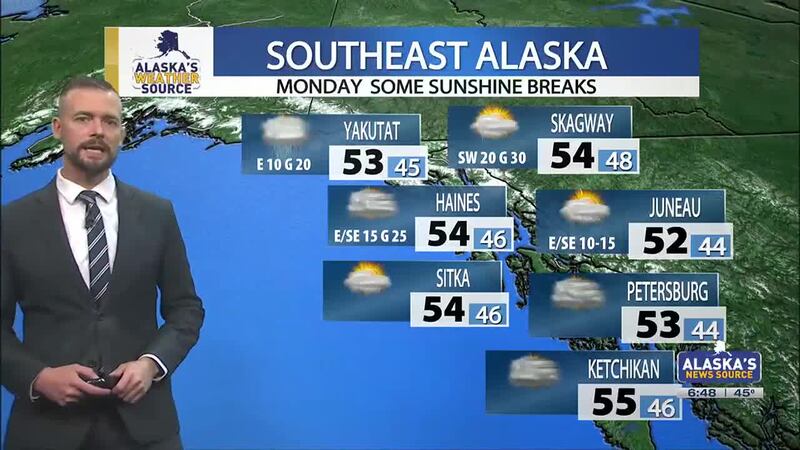
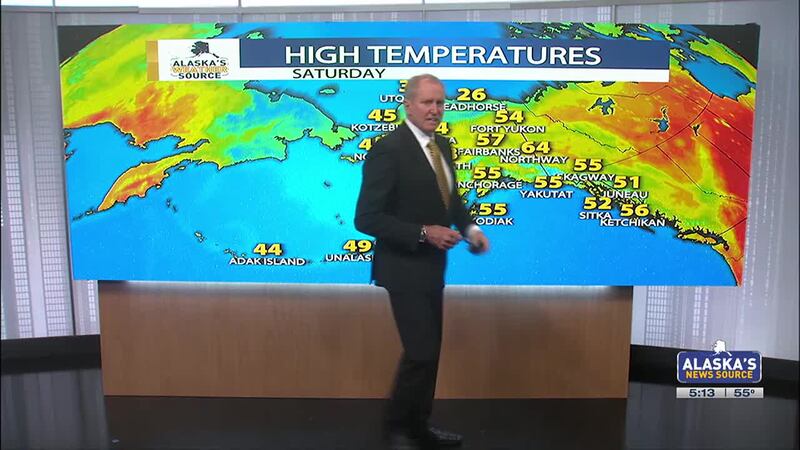
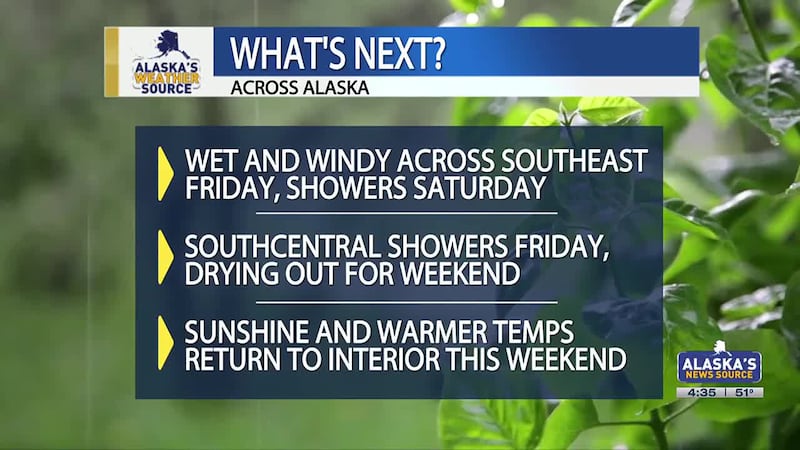
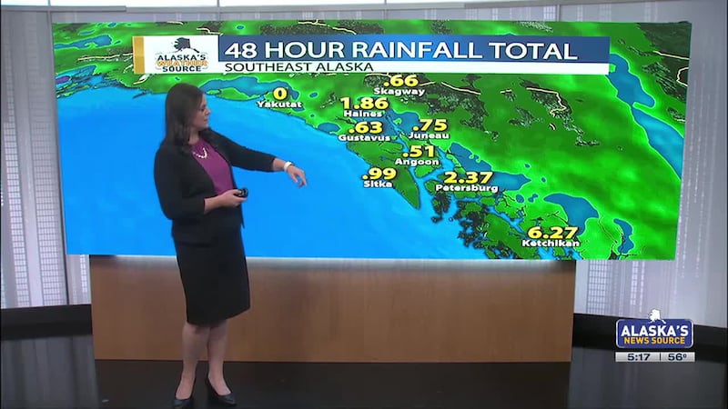
ANCHORAGE, Alaska (KTUU) - Over the next few days, Alaska will see a return to a more active weather pattern and one that is more typical for this time of year. Several storm systems are lined up and will move through the Aleutian Islands and Alaska Peninsula before moving over Southwest and Southcentral. Southeast will see several more rounds of rain over the next three days.
A Winter Weather Advisory remains in place for the Western Arctic Coast for blowing snow, reduced visibility and dangerously cold wind chills to -50. This is set to expire at 9 p.m. Thursday.
A Wind Advisory is in place for the Eastern Alaska Range North of Trims Camp with southerly winds blowing 30 to 40 mph with possible gusts to 55 mph.
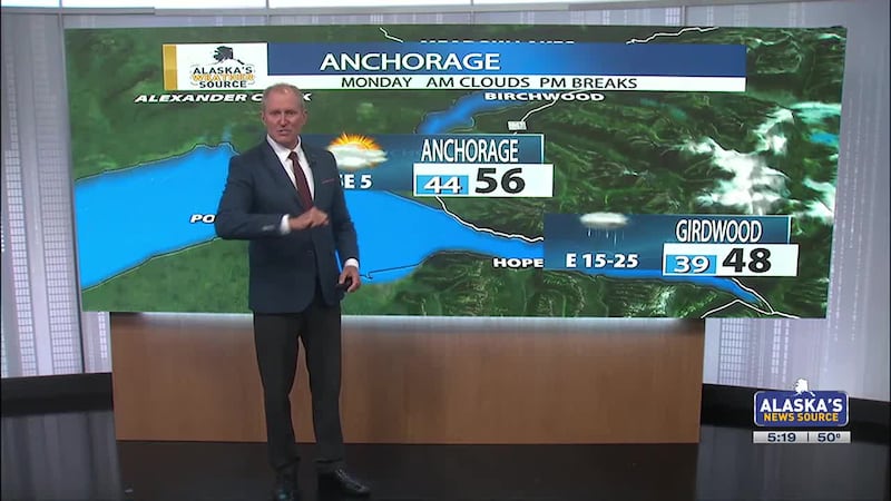
Anchorage saw a dusting snow this morning. Will it be enough to push 2025 out of the top spot for the least snowy February? We’ll have to wait for the official measurement to find out!
See a spelling or grammar error? Report it to web@ktuu.com
Copyright 2025 KTUU. All rights reserved.